A walk around the main sights of Bruges, taking in windmills, canals, buildings and parks.


You can view the route on OpenStreetMap or download the gpx track.
A walk around the main sights of Bruges, taking in windmills, canals, buildings and parks.
You can view the route on OpenStreetMap or download the gpx track.
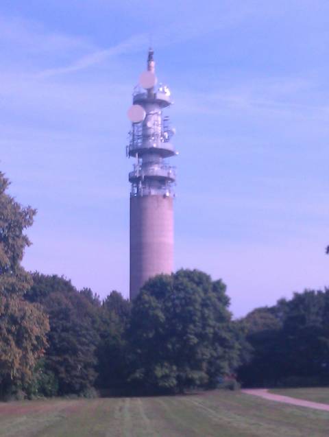
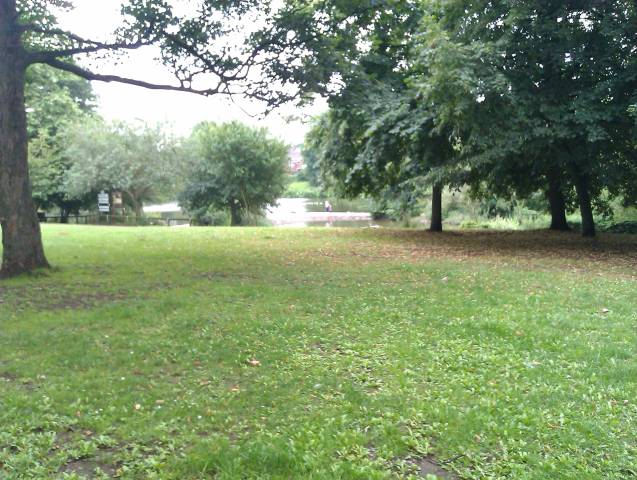
A 7k power walk in the sun. Nice.
You can view the route on OpenStreetMap or download the gpx track.
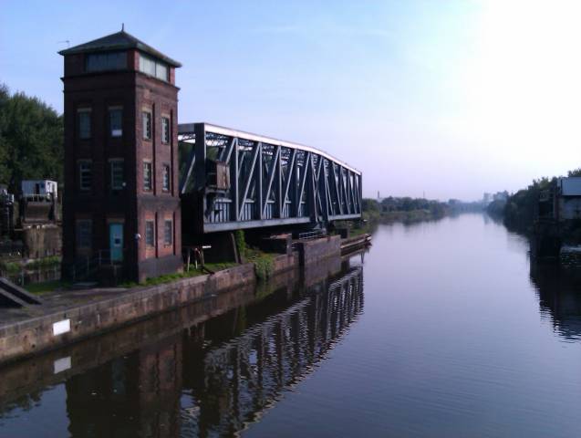
A 23 mile canalside hike across the Pennines.
You can view the route on OpenStreetMap or download the gpx track.
A 23 mile loop, using canal tow paths and disused railway lines.
You can view the route on OpenStreetMap or download the gpx track.
A 20 mile return journey along the Camel Trail.
You can view the route on OpenStreetMap or download the gpx track.
A short (less than 2 miles) return journey to the highest point on the Isle of Man.
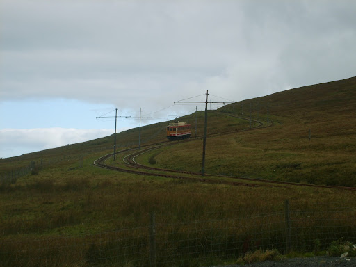
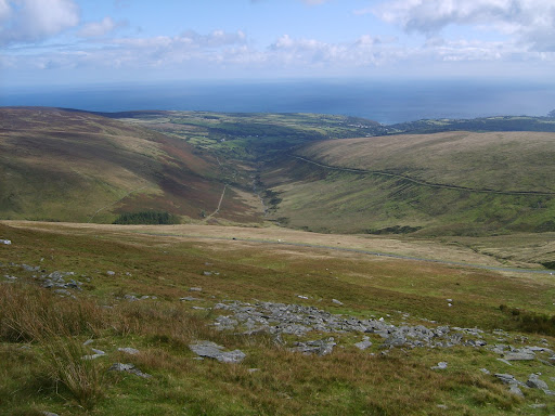
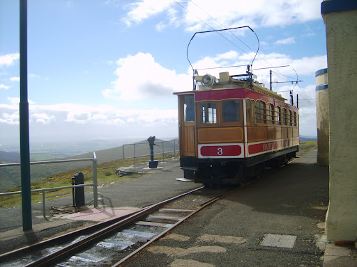
You can view the route on OpenStreetMap or download the gpx track.
A 26 mile return journey, starting at Sale Water Park, using the Trans Pennine Trail (national cycle route 62), to get to Lymm.
You can view the route on OpenStreetMap or download the gpx route.
A 60 mile loop passing through all ten Greater Manchester boroughs, mostly on quiet routes, including the Trans Pennine Trail (national cycle route 62), the Monton Loop (national cycle route 55), the Manchester Cycleway (national cycle routes 60 & 6), regional cycle route 558 and the Manchester Airport Orbital Cycleway (regional cycle route 85).

You can view the route on OpenStreetMap (click on the camera icons to see photos taken along the route) or download the gpx track.
A 29 mile loop, starting at Sale Water Park, using the Fallowfield Loop and regional cycle routes 558 and 85.


You can view the route on OpenStreetMap (click on the camera icons to see photos taken along the route) or download the gpx track.
A return journey, using regional cycle route 85.
You can view the route on OpenStreetMap or download the gpx track.
 This page contains hAtom data, which you can
  subscribe to in a feed reader.